 Kanata's Japan Shrine Guide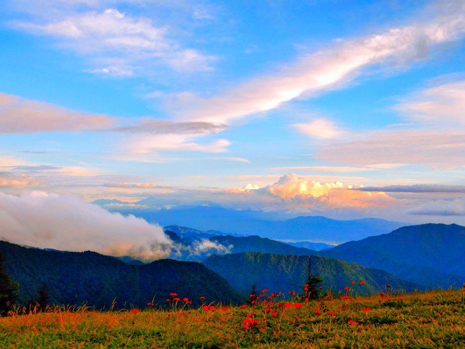

目次
- 【What is Utsukushigahara Highlands, Spreading at an Elevation of 2,034m Among Japan’s 100 Famous Mountains?】
- 【Highlights & Walking Routes of Utsukushigahara Highlands & Mt. Ogato】
- 【On-Site Exploration Report & Evaluation of Utsukushigahara Highlands & Mt. Ogato】
- 【Nearby Sightseeing Spots to Visit Together】
- 【Basic Information & Access】
【What is Utsukushigahara Highlands, Spreading at an Elevation of 2,034m Among Japan’s 100 Famous Mountains?】
Utsukushigahara Highlands (Utsukushigahara Kogen) is a vast lava plateau at an elevation of 2,034 meters, straddling Matsumoto City, Ueda City, and Nagawa Town in Nagano Prefecture. Located at the northernmost point of Yatsugatake-Chushin Kogen Quasi-National Park, it is counted as one of Japan’s 100 Famous Mountains. With no obstructions surrounding it, its greatest appeal is the 360-degree panoramic view overlooking more than 40 of Japan’s 100 Famous Mountains, including Mt. Fuji as well as the Northern, Central, and Southern Alps.
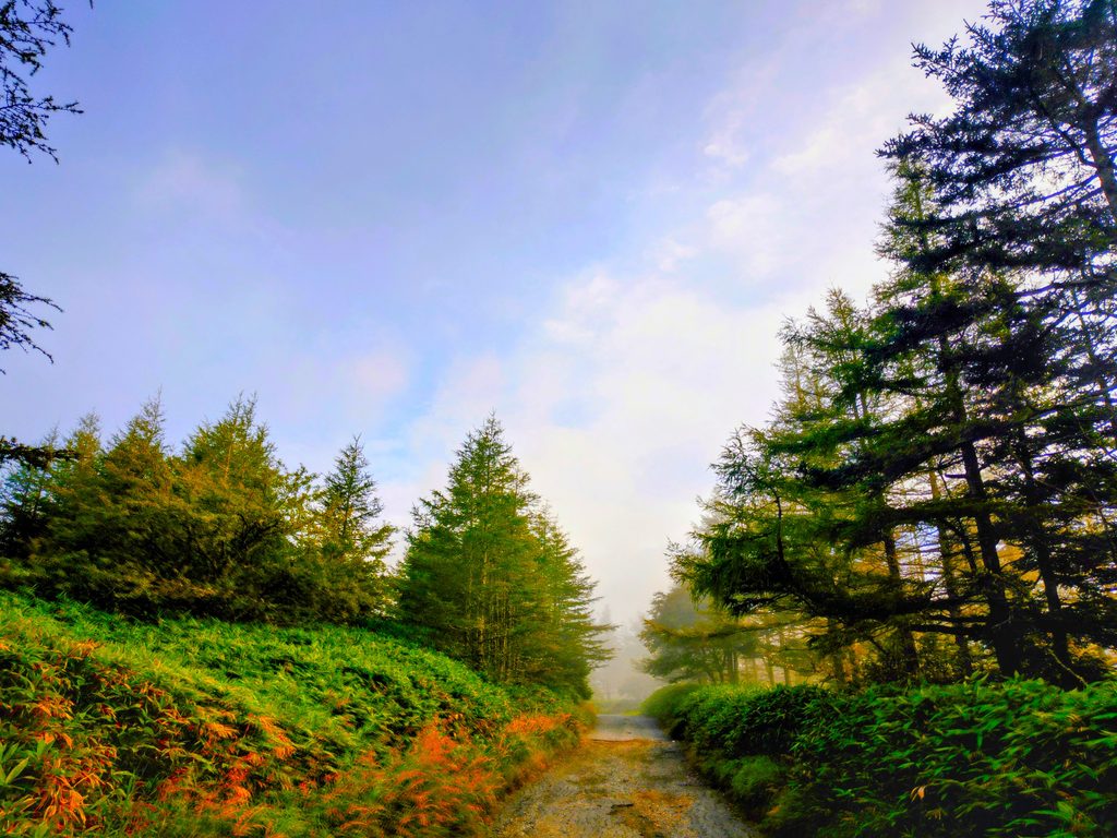
Access is available via the “Matsumoto Route” and the “Venus Line Route,” both of which are equipped with spacious free parking lots. For this trip, we took the Matsumoto Route up and stayed at Ogato Hotel.
【Highlights & Walking Routes of Utsukushigahara Highlands & Mt. Ogato】
Mt. Ogato (Ogato), the highest peak of Utsukushigahara Highlands at an elevation of 2,034 meters, is the main peak situated in the center of the vast lava plateau. From the summit, a “360-degree grand panorama” sweeps out, overlooking approximately 40 of Japan’s 100 Famous Mountains, making it the iconic centerpiece for sightseeing in Utsukushigahara.
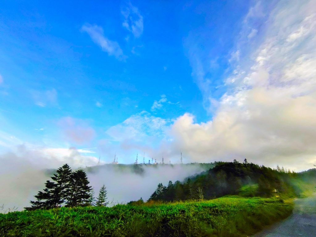
General vehicles cannot drive directly to Mt. Ogato. Guests staying at Ogato Hotel can take a shuttle bus service from the Utsukushigahara Nature Center directly to the hotel. However, due to poor road conditions, the ride is quite bumpy. Therefore, we had our luggage sent ahead on the bus and chose to walk there ourselves.
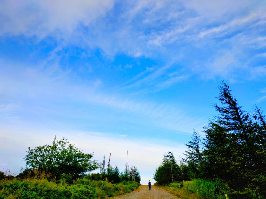
While the view from Ogato Hotel is wonderful, taking a detour off the main path reveals spectacular scenery along the way, so I personally recommend exploring on foot. Although it was only about a 30-minute walk, the views were so amazing that we kept exploring right up until dinner time.
【360-Degree Grand Panorama and Northern, Central, and Southern Alps】
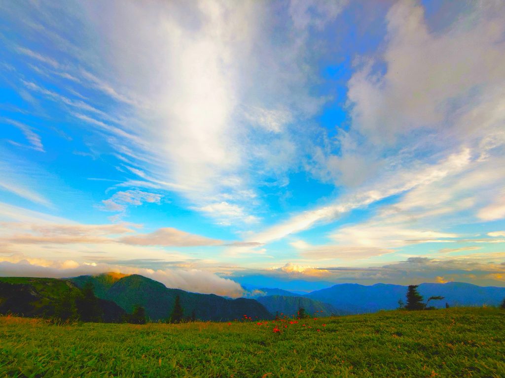
There are absolutely no obstructions blocking the view around you. Below your eyes lie the Matsumoto Basin and Ueda Basin, while in the distance, you can enjoy an unobstructed view of Japan’s iconic famous peaks, including Mt. Fuji, the Northern Alps, Central Alps, Southern Alps, and Yatsugatake. When the weather conditions align, it becomes a front-row seat to a mystical “sea of clouds” (unkai).
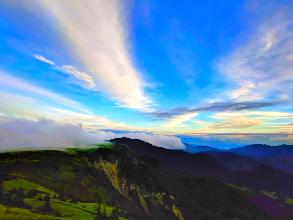
【The Landscape of Massive Radio Towers】
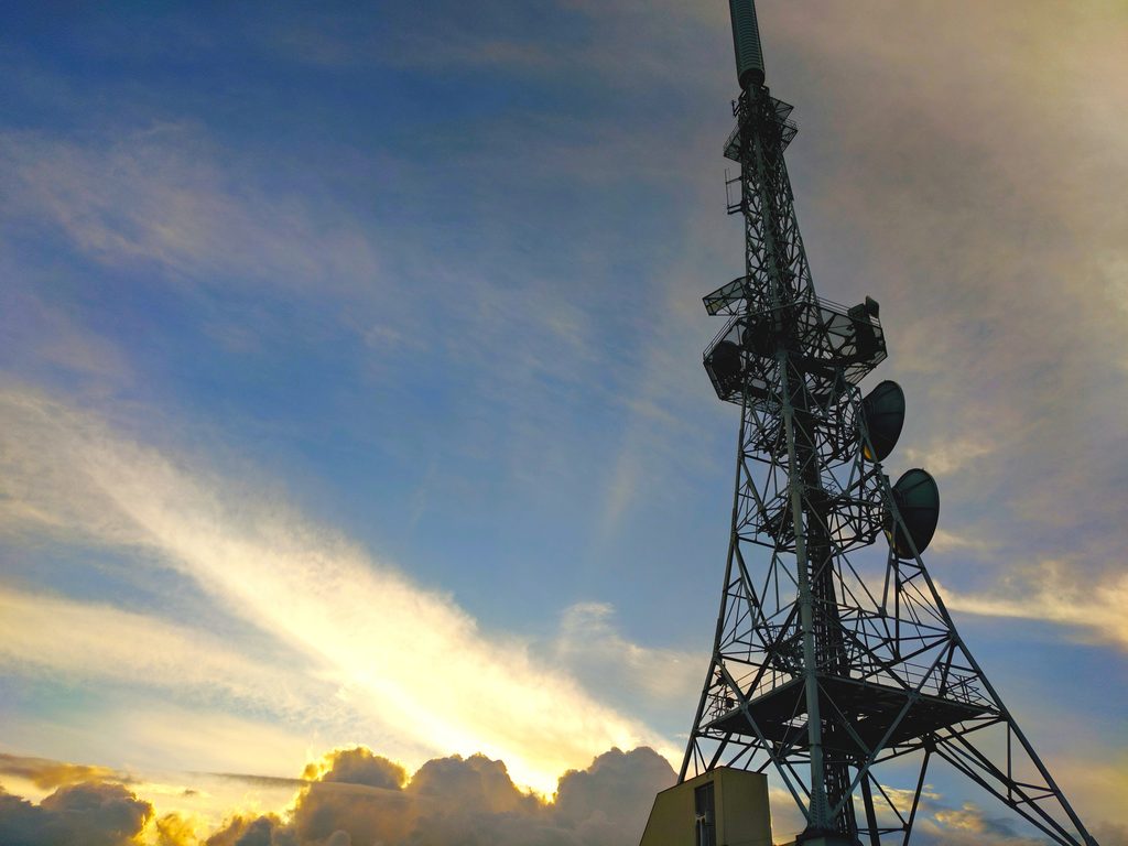
Soaring near the summit are nearly 20 massive broadcast antennas (transmitters) belonging to NHK, local television and radio stations in Nagano Prefecture, and government agencies. This unique landscape, where futuristic towers stand against green grasslands, serves as the signature landmark of Mt. Ogato.
【Landmark at the Summit: “Ogato Hotel,” a Spectacular Inn Above the Clouds】
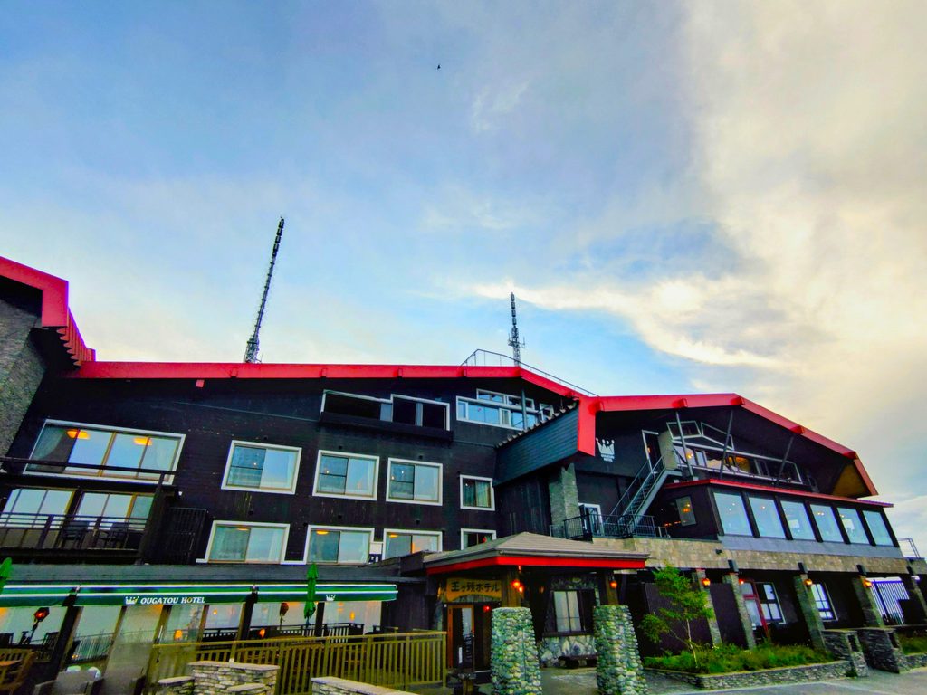
Standing right beside the summit is “Ogato Hotel,” a solitary mountain inn. Staying here allows guests to experience everything from sunset and starry night skies to morning clouds and the sunrise (goraiko) directly from guest rooms or open-air baths, making it an extremely popular hotel attracting visitors from all over Japan.

The meals were also exceptionally delicious, making for a highly satisfying hotel stay.
【Mt. Ogato (Elevation 2,034m) and Ontakehonkyo Okunoin Shrine】
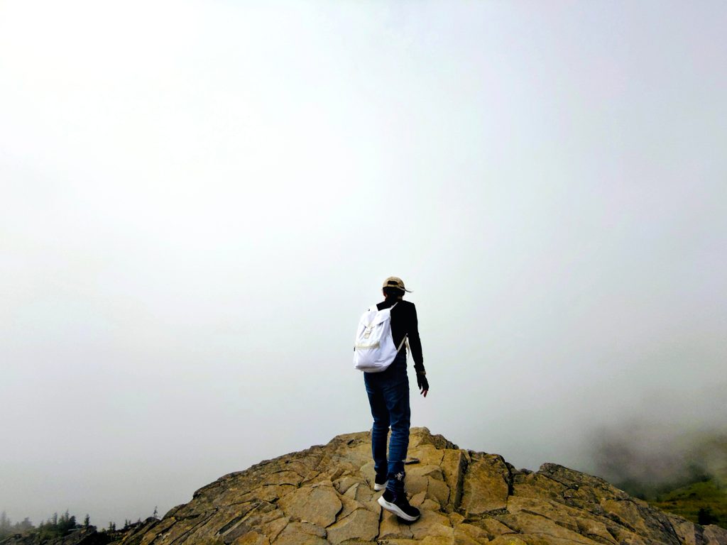
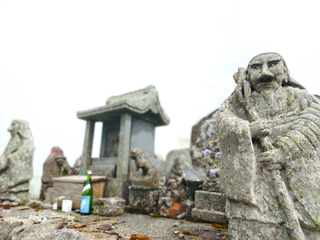
Ontakehonkyo Okunoin Shrine (Ontakehonkyo Okunoin) is a sacred site and distant place of worship (yohaijo) for the Ontake faith, enshrined near the summit of Mt. Ogato (right behind Ogato Hotel), the highest peak of Utsukushigahara Highlands.
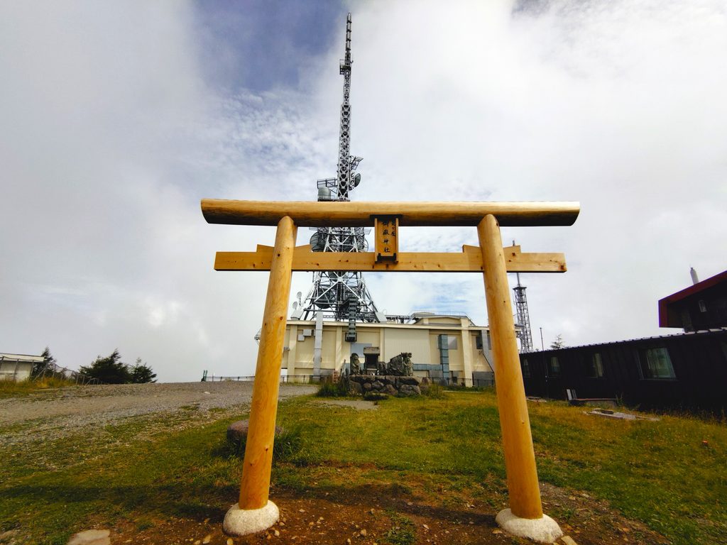
During the Edo period, followers of the mountain faith (Ontake faith) widespread in the Chubu region established this site to worship from afar the sacred Mt. Kiso-Ontake (3,067m), located on the border between Nagano and Gifu Prefectures. Passing through the torii gate, visitors find a line of historical stone statues and Buddhist figures. Among them are unique statues with winged shoulders adorned with mirrors, preserving the mystical atmosphere and remnants of the era when Shinto and Buddhism merged (shinbutsu-shugo).
【Utsukushigahara Ranch: Idyllic Grazing Views and Vast Grassland Walks】
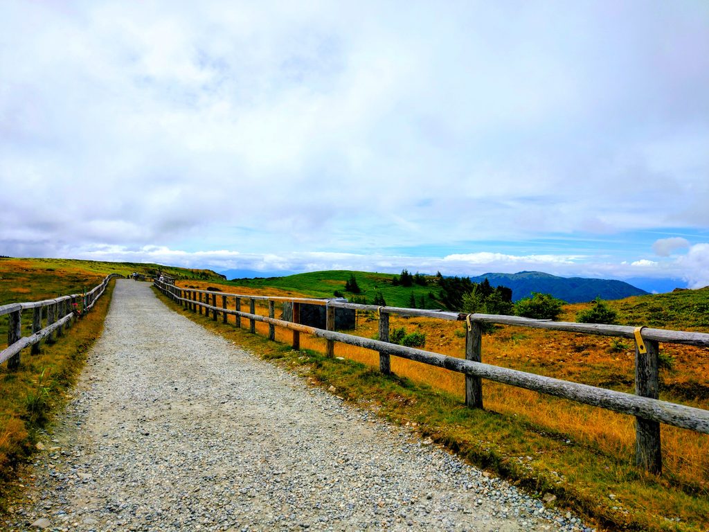
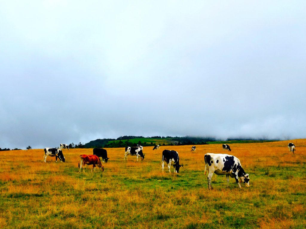
Utsukushigahara Ranch (Utsukushigahara Bokujo) is a massive communal pasture covering an area of approximately 300 to 400 hectares across the vast mountain plateau (elevation approx. 1,900m to 2,000m) of Utsukushigahara Highlands. Spreading along both sides of the hiking trail that crosses the highlands, it creates the peaceful, pastoral scenery that symbolizes Utsukushigahara.
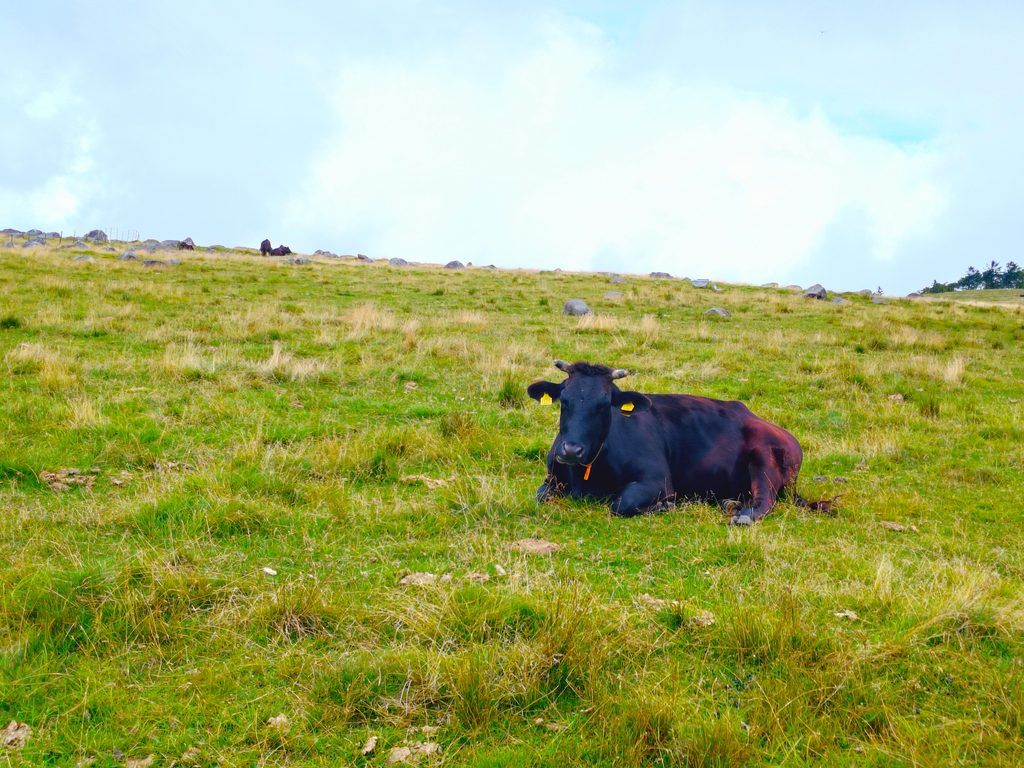
To protect cattle that dislike extreme heat, livestock farmers at the foot of the mountain entrust approximately 250 to 300 head of cattle (mainly female cows and calves of Holsteins and Japanese Black beef cattle) here. Grazing on nutrient-rich natural grass in a cool environment and running across vast lands is said to help them grow into healthy, strong cattle with sturdy legs and sound minds.
Intrigued, I researched its history and found that it goes back quite far. During the Heian period, it is presumed that an imperial pasture (teshimaki or chokushimaki) managed by the Imperial Court for raising warhorses existed on this site. Legend has it that “Surusumi,” a famous steed renowned for its role in the Battle of Uji River, was also born and raised in Utsukushigahara.
【On-Site Exploration Report & Evaluation of Utsukushigahara Highlands & Mt. Ogato】
Utsukushigahara Highlands & Mt. Ogato (Matsumoto Route) On-Site Exploration Review & Evaluation Score
| Evaluation Category | Score | Key Features / Highlights |
|---|---|---|
| Views & Scenery | (5.0) | The breathtaking view of the Northern Alps seen from “Ogahana” along the way and the “Ogato” summit is truly spectacular |
| Openness & Nature | (5.0) | Exhilarating air at an elevation of over 2,000m; climbing up the mountain side to break out onto the summit provides an outstanding sense of accomplishment |
| Highlights & Satisfaction | (4.5) | A continuous sequence of highlights, including the cliffside Ogahana, a cluster of radio towers, and the Nature Center |
| Ease of Walking & Facilities | (4.0) | Involves uphill climbs and stone-paved paths (approx. 40–50 mins one way); Nature Center is fully equipped with a shop and restrooms |
| Tranquility & Exhilaration | (4.0) | A quiet mountain trail route with open views facing the Northern Alps; the area near the summit is lively |
| Accessibility | (2.5) | From downtown Matsumoto via the Utsukushigahara Forest Road (narrow with many sharp curves) to the terminal Nature Center |
*Access from downtown Matsumoto involves taking the Utsukushigahara Forest Road (driving on mountain roads). As it is an uphill climb from the Nature Center to Ogahana and Ogato, wearing comfortable walking shoes (sneakers or better) and cold-weather clothing is recommended.
On-Site Report | Personal Impressions and Atmosphere
Unfortunately, the sky was “slightly cloudy” on the day of my visit. While I couldn’t enjoy the desired 360-degree panorama or the piercing blue sky, the mist created a mystical atmosphere, and the vibrant green of the pasture peeking through gaps in the clouds was remarkably beautiful—a profound view in its own right. The air at an elevation of 2,000 meters was refreshingly crisp, making just walking around feel invigorating. Taking the lack of clear-sky views as a sign saying, “This just means you definitely have to visit again,” I made a nice excuse for myself. It has become a favorite spot of mine that I want to challenge again on a clear, sunny day. Next time, I would like to try coming via the Venus Line.
【Nearby Sightseeing Spots to Visit Together】
Ikushimatarushima Shrine, Tokkosan Zensanji Temple, Takemizuwake Shrine
![20260817 133355127 520x300 - Utsukushigahara Highlands & Mt. Ogato [Nagano]](https://japan-shrine.info/wp-content/uploads/20260817_133355127-520x300.jpg "Utsukushigahara Highlands & Mt. Ogato [Nagano]")
![20260817 1417366502 520x300 - Utsukushigahara Highlands & Mt. Ogato [Nagano]](https://japan-shrine.info/wp-content/uploads/20260817_1417366502-520x300.jpg "Utsukushigahara Highlands & Mt. Ogato [Nagano]")
![20260816 1535042052 520x300 - Utsukushigahara Highlands & Mt. Ogato [Nagano]](https://japan-shrine.info/wp-content/uploads/20260816_1535042052-520x300.jpg "Utsukushigahara Highlands & Mt. Ogato [Nagano]")
【Basic Information & Access】
【Access by Train / Car and Parking】
*Free parking available (Utsukushigahara Nature Center)
Utsukushigahara Kami-Hon-iri, Takeshi, Ueda City, Nagano Prefecture 386-0507